In 2018, a plane flew over the Guatemalan lowlands firing invisible laser pulses into the jungle. On the computer screen, the trees vanished. What remained looked impossible: causeways like highways, terraced hillsides, and thousands of buildings forming a web of cities no one had mapped before.
This was LIDAR stripping away the forest and, with it, a century of lazy clichés about a “mysterious” Maya disappearance. The Maya had not vanished. Their cities had. Eight million Maya people still live in Mexico and Central America. Their ancestors once filled a region that, at its height, may have held 10 to 15 million people.
LIDAR shows that Classic-period Maya civilization was bigger, more engineered, and more interconnected than most archaeologists dared guess. It also forces a sharper question: if this world was so large and sophisticated, what if it had not collapsed between about 750 and 900 CE? How would history look if those causeways had stayed busy and those terraces never gone to seed?
To answer that, you have to start with what we now know about the real Maya story: not aliens or lost continents, but human genius, ecological strain, and survival in a hard place.
What did LIDAR really reveal about the Maya world?
The old image of the Maya lowlands was a romantic one. Lonely pyramids rising from “pristine” jungle, a few scattered city-states, and then silence after some vague catastrophe. LIDAR has shredded that picture.
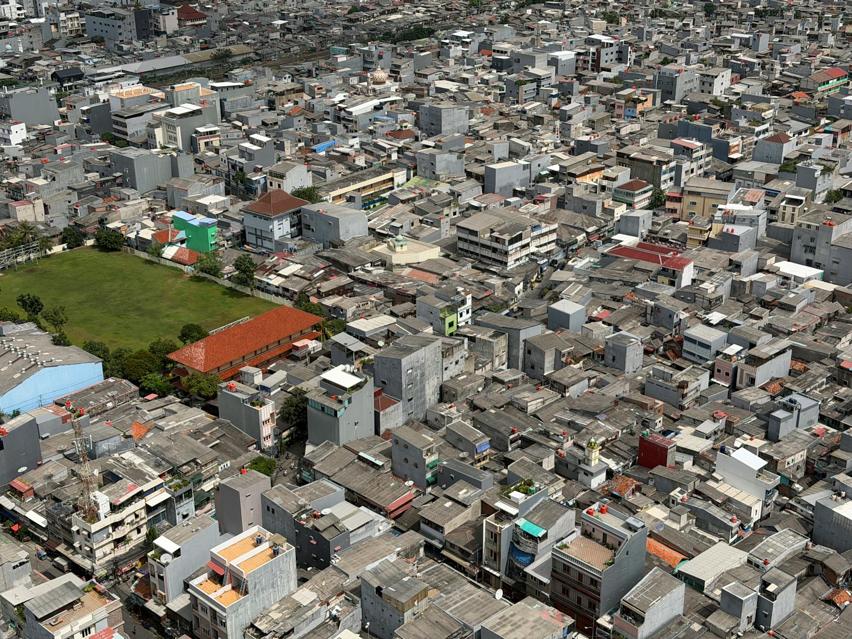
Surveys in northern Guatemala and parts of Mexico and Belize have mapped more than 60,000 previously unknown structures: platforms, houses, pyramids, causeways, defensive walls, and terraces. One 2018 project around the Mirador Basin alone suggested urban densities that rivaled or exceeded many premodern Old World regions.
What looked like wild hills turned out to be human work. Terraces climbed slopes that modern farmers had written off. Reservoirs and canals stitched together wetlands. The “jungle” was an abandoned garden, the ghost of a managed ecosystem that had fed millions.
At El Mirador, an early Maya city that peaked centuries before the more famous Tikal, the main pyramid complex, La Danta, has a greater volume of fill than Khufu’s Great Pyramid in Egypt. It is not taller, but it is bulkier, a mountain of stone and packed earth raised by people with no metal tools and no draft animals.
These were not isolated geniuses. They were part of a civilization that used a place-value number system with a true zero at least by the 4th century CE, some scholars argue earlier. That is roughly 800 years before the earliest unambiguous Indian inscription with zero and more than 1,600 years before Europeans widely adopted it. They tracked Venus cycles with unnerving precision and built cities aligned to celestial events.
So what? Because once you see the Maya lowlands as a dense, engineered world, the “collapse” stops looking like a sudden mystery and starts looking like a long, grinding crisis in a very crowded, very stressed environment.
Why did Classic Maya cities collapse in the real timeline?
Between about 750 and 900 CE, many of the great southern lowland cities stopped carving dated monuments. Populations fell. Dynasties ended. By the time Spanish chroniclers arrived centuries later, the jungle had swallowed most of the old centers.
There was no single cause. The record points to a stack of problems that fed on each other.
Climate data from lake sediments and cave formations shows a series of severe droughts in the 9th century. These hit a society that had already pushed its environment hard. LIDAR and soil studies show extensive deforestation around major cities, both for agriculture and for lime plaster used in construction. Strip away too many trees in a tropical system and you lose soil, change local rainfall, and make droughts bite deeper.
At the same time, inscriptions tell a story of intensifying warfare among rival kings. Fortifications appear around some sites. Captives are paraded and sacrificed. Political fragmentation meant that when the rains faltered, cooperation was scarce. Rulers doubled down on monuments and war rather than long-term fixes.
There is no evidence of a mass die-off that erased the Maya people. Populations shifted. Many moved north toward the Yucatán, where cities like Chichén Itzá rose in the Terminal Classic and Postclassic periods. Others dispersed into smaller communities, some of which survive as modern Maya towns.
So what? Because the real constraints that broke Classic Maya urbanism, especially water, soil, and political fragmentation, are the same constraints any alternate timeline has to respect. Any “what if” that ignores them is fantasy, not history.
Scenario 1: What if the Maya had solved their water problem?
Start with the most basic constraint: water. Much of the southern lowlands has no large rivers. Cities relied on seasonal rainfall captured in reservoirs, aguadas, and cenotes. When multi-year droughts hit, storage systems were stretched to the limit.
There is evidence that some Maya engineers were already thinking bigger. Tikal, Calakmul, and other sites had large artificial reservoirs with plastered bottoms, sometimes fed by carefully channeled runoff. Some scholars argue that water management was a key source of royal power.
In this scenario, imagine that by the 7th or early 8th century, a few major polities push water engineering further. Instead of each city hoarding its own reservoirs, they begin to coordinate regional systems: expanded catchment basins, more aggressive terracing to slow runoff, and canal links between wetlands and urban cores.
Technologically, this is plausible. They already moved huge volumes of earth and stone for pyramids and causeways. Redirecting some of that labor to hydrology is a political choice, not a technical leap.
The political key would be a period of relative stability. If a hegemonic power like Tikal or Calakmul had managed to dominate its rivals for a few more generations, it could have enforced large-scale infrastructure projects. Think less “Maya empire” and more “Maya water league” held together by shared survival.
With better storage and soil conservation, the 9th-century droughts still hurt, but they do not trigger cascading urban abandonment. Populations dip instead of crash. Some marginal centers fail, but core cities endure and adapt.
So what? Because if the Classic cities stay viable, Maya urban life stretches into the 10th and 11th centuries, which changes who meets whom when new powers rise in Mesoamerica.
Scenario 2: What if a Maya superstate had unified the lowlands?
The Classic Maya world was a patchwork of rival kingdoms. Tikal, Calakmul, Copán, Palenque, Caracol, and many others fought, allied, and betrayed each other. There was no single “Maya empire.” That fragmentation made them agile but brittle in a crisis.
There were moments, though, when a superpower came close. Calakmul in the 7th century had a vast alliance network. Tikal, after its resurgence in the late 7th and early 8th centuries, projected power widely. Neither managed to lock in a durable imperial structure.
In this scenario, imagine that one of these powers, say Tikal after its victory over Calakmul in 695, does not just celebrate with more monuments. Its rulers consciously centralize. They keep vassals on a shorter leash, station garrisons, and standardize tribute. Over a few generations, they turn a loose hegemonic network into something closer to an empire.
There are trade-offs. More centralization risks rebellion. But it also gives the superstate tools to coordinate responses to drought, warfare, and trade disruptions. Think of what the Inca did centuries later in the Andes: using roads, storehouses, and forced resettlement to smooth out local shocks.
A Maya superstate could have done its own version within the constraints of tropical lowlands. It already had sacbeob, raised causeways linking cities. It had administrative elites trained in writing and calendar keeping. It had a shared religious framework that could legitimize a “king of kings.”
With that apparatus, the 9th-century crises become a test rather than a death sentence. The superstate might ration food from better-watered regions, move populations away from the driest zones, and suppress local wars that waste resources.
So what? Because a unified Maya power persisting into the Postclassic period would change the balance with rising Toltec and later Mexica (Aztec) centers, and it might still be a recognizable state when Europeans appear on the horizon.
Scenario 3: What if the Maya core had shifted north earlier?
In actual history, as southern lowland cities faded, power drifted north. Chichén Itzá in northern Yucatán flourished roughly between the late 8th and 11th centuries. It sat in a region with more accessible groundwater through cenotes and had strong maritime trade links.
By the time Chichén Itzá hit its stride, many southern centers were already in trouble. The shift was reactive. People moved after the crisis hit hardest.
In this scenario, imagine a more proactive pivot. By the 7th century, southern rulers and merchants recognize the long-term limits of their water-poor lowlands. They invest earlier in northern colonies, ports, and trade routes. Instead of clinging to their ancestral seats, some dynasties relocate their main courts northward while the south is still strong.
There is precedent for elite mobility. Inscriptions mention nobles marrying into distant courts and exiled princes founding new lines. A more systematic move would not be out of character, just bolder.
Economically, the north offers new options: salt production, coastal trade around the Yucatán Peninsula, and links to Gulf and Caribbean routes. Politically, it offers a fresh start in zones less hammered by the 9th-century droughts.
The result is a Maya world that looks less like a collapse and more like a geographic reorientation. Southern cities shrink but do not vanish overnight. Northern centers absorb migrants and knowledge. The written tradition, mathematics, and astronomy continue in places better buffered against climate swings.
So what? Because an earlier northern pivot keeps Maya high culture intact and concentrated, which makes it more likely that later outsiders, including Spaniards, meet a literate, urban Maya power rather than scattered kingdoms.
Which scenario is most plausible, and how would it change contact with Europe?
All three scenarios respect the hard facts: no large rivers in key zones, no metal tools, no draft animals, and a tropical environment sensitive to deforestation. None imagines steam engines in Tikal or Maya caravels in the Atlantic.
The least plausible is a long-lived, tightly centralized superstate. Classic Maya politics were deeply local. Kingship was tied to specific dynasties and sacred places. Turning that into a durable empire would have required a cultural shift as much as a military one. It is not impossible, but it cuts hardest against the grain of the evidence.
The most plausible is a combination of the other two: incremental improvements in water management plus an earlier, more deliberate shift of population and power toward the north and other better-watered margins.
Maya engineers were already building terraces, canals, and reservoirs. LIDAR shows they were not blind to their environment. A few generations of political stability could have scaled those efforts up enough to blunt the worst drought impacts. Not erase them, just turn a collapse into a long, uneven contraction.
At the same time, the historical rise of Chichén Itzá and later Mayapán shows that the north could support large, influential centers. Moving that timeline forward by a century or two does not require magic. It just means some kings choose migration over endless war.
So how does that intersect with Europe?
By the time Spaniards reach the region in the early 16th century, the real-world Maya are politically fragmented. There are strong city-states, but no empire on the scale of the Aztec or Inca. Small Spanish forces, backed by disease and local rivalries, can chip away for decades.
In our more plausible alternate timeline, a denser, more continuous Maya urban tradition survives into the 15th and 16th centuries. There might be one or several large northern-based kingdoms with deep bureaucratic experience, strong trade networks, and a clearer memory of their Classic past.
They would still face smallpox and steel. That part does not change. But the initial encounters might look less like Spaniards walking into a political vacuum and more like the drawn-out wars they fought in central Mexico, with large armies, fortified cities, and negotiations among literate elites.
One more twist: a stronger Maya presence on the Yucatán coast could alter Spanish priorities. Instead of seeing the peninsula as a sideshow to the riches of central Mexico, they might recognize it earlier as a major power center. That could bring more direct confrontation, but it could also create space for diplomacy, alliances, and limited autonomy deals, at least for a time.
So what? Because the most likely alternate Maya future is not a sci-fi supercivilization but a world where their cities do not empty so fast, their books are less thoroughly burned, and their descendants inherit more than fragments of a past that LIDAR now helps us reconstruct.
Why the “mysterious Maya” myth still lingers
Even with all this data, the old clichés hang on. Part of that is simple inertia. “Lost cities” and “vanished peoples” sell better than “complex societies facing long-term environmental and political problems.”
Victorian imaginations did their own damage. The idea of “Sacred Cenote virgins” tossed into wells at Chichén Itzá as pure, tragic offerings fit 19th-century fantasies about exotic sacrifice. Actual archaeology paints a messier picture: men, women, and children of various ages, some with signs of violence, some perhaps honored, others maybe prisoners. Not a neat line of virginal maidens, but the social reality of a stratified, often violent world.
Calling the jungle “pristine” erases the fact that nearly every hill was once terraced, every valley managed. Talking about a “mysterious disappearance” hides the 8 million Maya people alive today, speaking dozens of Maya languages, farming, migrating, and arguing about politics like everyone else.
LIDAR did not just find more ruins. It forced a rewrite of the basic script. The Classic Maya collapse was not a magic trick. It was a drawn-out, regionally varied unraveling of a dense, engineered world under climatic and political strain.
So what? Because once you stop treating the Maya as a vanished mystery and start seeing them as historical actors with knowable constraints and choices, counterfactuals like these stop being fantasy and start being a way to think harder about how societies survive, adapt, or fail.
Frequently Asked Questions
Did the Maya really disappear as a civilization?
No. Many Classic-period cities in the southern lowlands were abandoned between about 750 and 900 CE, but the Maya people did not vanish. Populations shifted north and into smaller communities. Around 8 million Maya descendants live today in Mexico, Guatemala, Belize, Honduras, and El Salvador.
What did LIDAR reveal about ancient Maya cities?
LIDAR mapping stripped away forest cover and showed that the Maya lowlands were densely built and engineered. Surveys have identified tens of thousands of previously unknown structures, including houses, pyramids, causeways, terraces, and reservoirs. The data suggests urban densities and landscape modification on a much larger scale than previously thought.
Why did Classic Maya cities collapse in the 9th century?
Most researchers point to a combination of factors: severe droughts, deforestation and soil degradation, political fragmentation, and intensified warfare among rival kingdoms. These stresses fed into each other. The result was not a single sudden event but a centuries-long decline and reorganization of population and power.
Did the Maya use the concept of zero before other civilizations?
Yes. The Maya used a place-value number system with a true zero at least by the 4th century CE, possibly earlier. That predates the earliest clear Indian inscription with zero by several centuries and European adoption by more than a millennium. Their zero appears in calendar notations and mathematical inscriptions.