

PHOTO: pinterest
MIRADOR BASIN, GUATEMALA – New findings show that the Mayans engineered a series of superhighways that rivaled Roman roads. The network of roads dates back to 600 BC, almost five hundred years before any engineer in ancient Italy first paved the roads that led to Rome. The roads trace through 150 miles of Guatemalan jungle, right in the heart of the cradle of Mayan civilization: the Mirador Basin.
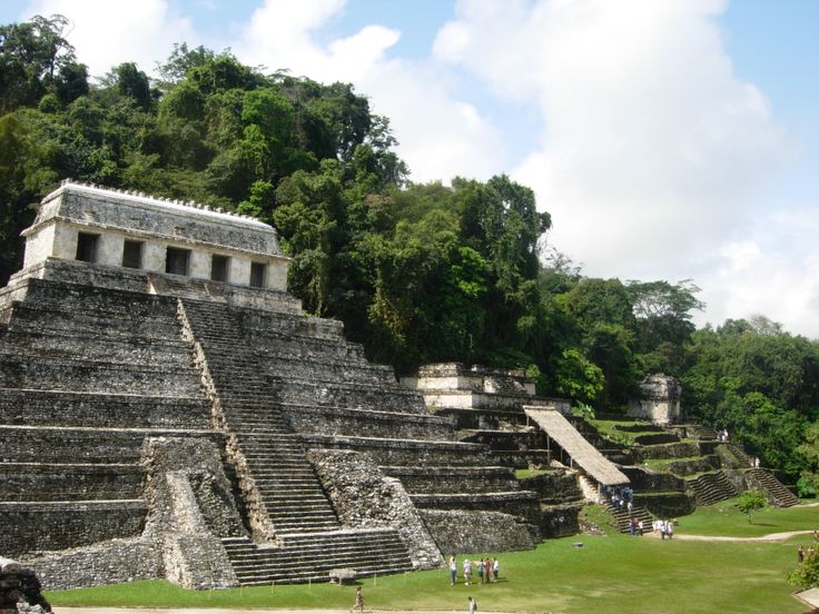
El Mirador, or the Kan Kingdom, was the largest and most powerful pre-Colombian settlement in Central America. It covered a staggering 833 square miles – the size of New York City and Los Angeles combined – and was home to over a million people.
The Mirador Basin is the largest stretch of virgin tropical forest still left in Central America. In 1967, British archaeologists and Mayanist Ian Graham published a map of the basin, tracing these ancient causeways. This year, archaeologists working with the Mirador Basin Project, led by archaeologist and anthropologist Richard D. Hansen with University of Utah, have used new technology to scan the forest floor and provide detailed, 3-D scans of the roads. This technology is called LiDAR. It’s a radar technology that allows archaeologists to now slice through the thick jungle canopy and see what’s beneath without ever felling a tree.
“[The technology] uses laser pulses that bounce from the Earth’s surface through leaves and back to a computer mounted in a plane,” Arlen Chase, archaeologist at the University of Nevada, explained. “While most people felt the technology would not be successful based on past experiments in Central America, we became convinced by 2006 that it could be used to determine what was on the ground in terms of Maya sites under the jungle canopy. The results were beyond our wildest expectations.”
Arlan Chase is one of the researchers working with the Mirador Basin Project.
Ancient Superhighways
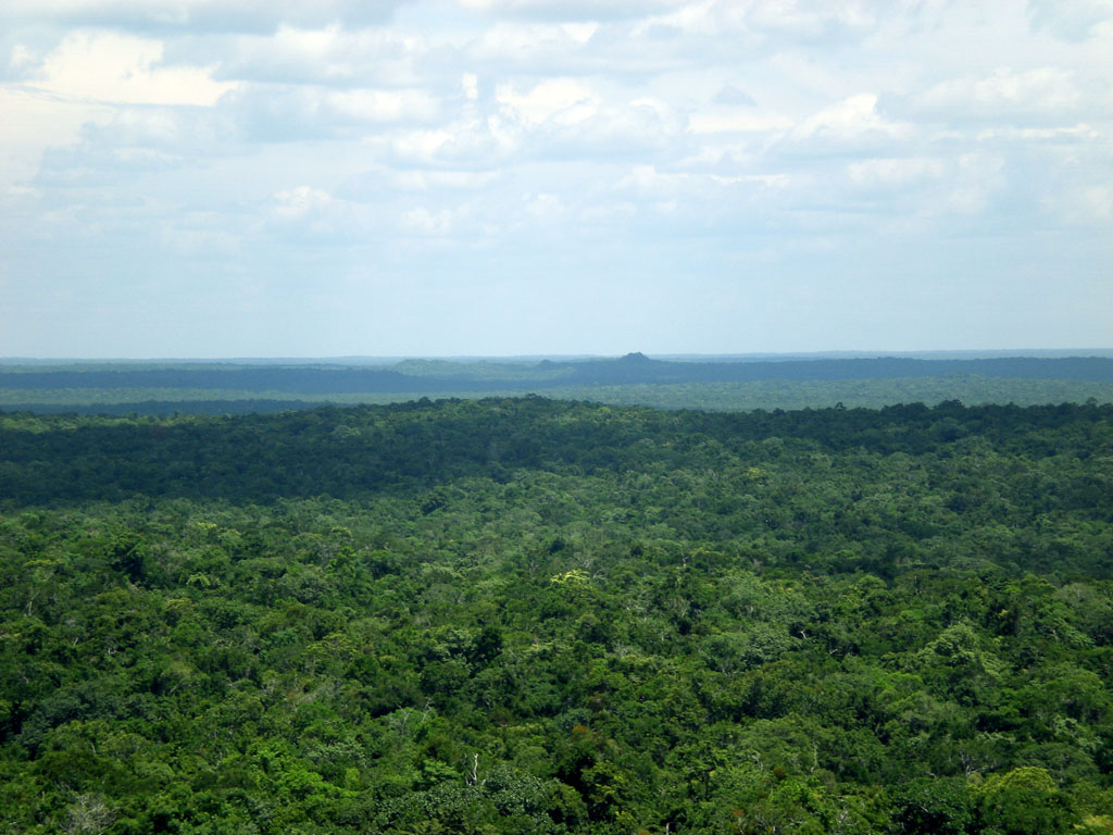
The Mirador Basin jungle. [PHOTO: miradorbasin.com]
“The creation of these causeways allowed unification of what appears to be the first state-level society in the Western Hemisphere.” – Dr. Richard D. Hansen.
There’s another bit of architecture that the new radar system picked up that has archaeologists sitting back in awe: a complex of corrals, pastures, stables, and slaughterhouses. Researchers with the Mirador Basin Project now believe that the Mayans were processing meat at an industrial level, not unlike we do today. They would have used their massive superhighways to transport meat, cattle, and other various asundry goods between different areas of El Mirador.
“The causeways allowed transport of food, materials, tribute, rulers, armies and all the trappings of political, economic and social complexity. The system is similar to the autobahn system in Germany, or the freeway system in the U.S., and allows unification, homogeneity of society and permits the administration of centralized government,” Dr. Hansen said.
It’s an incredible discovery – the roads and the near-industrial meat production facilities alike. As the team of researchers investigate further over the course of this next year, they’re hoping that their finds will help them figure out why the Mirador Basin eventually declined. Over 34 universities and institutions worldwide are attempting to decipher what happened to the Mirador Basin after 150 A.D., when the civilization suddenly fell into ruin. It’s a mystery that still lies beneath the jungle floor, but a mystery that we’re one step closer to unraveling.